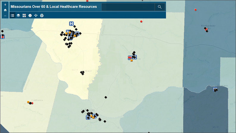
As the Coronavirus becomes a global threat, older Missourians are increasingly at risk of contracting this potent disease. This web map, designed by the Missouri Spatial Data Information Service (MSDIS), features county-level demographic data from the Missouri Census Data Center that highlights Missouri’s over-60 population, as well as several datasets from the Missouri Department of Health and Senior Services that highlight some of the healthcare resources that are available to them.
The Missouri Census Data Center frequently works with MSDIS on mapping and data projects. MSDIS is a spatial data retrieval and archival system offering many mapping resources, primarily focused on the state of Missouri.