About a year ago, the Missouri Census Data Center and MSDIS jointly published a story map detailing just a few of the many ways that Missouri benefits from a complete and accurate census. While the official counting period for Census 2020 has only just recently come to a close, we thought it would be interesting to take a look back at what Missouri looked like ten years ago, starting with racial demographics.
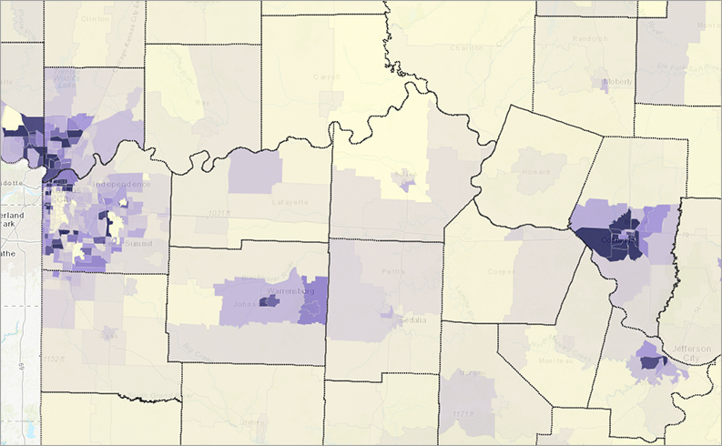
The maps in this application show the percentage of each Missouri census tract that identified as White, Black, Hispanic, Asian, American Indian, or Native Hawaiian. Unsurprisingly, the overwhelming majority of our census tracts are primarily occupied with Missourians who identified themselves as White. If you take a moment to compare the different categories, though, some very interesting patterns start to make themselves known.
Missouri Census Data Center frequently works with MSDIS on mapping and data projects. MSDIS is a spatial data retrieval and archival system offering many mapping resources, primarily focused on the state of Missouri.