MCDC News and Updates

CAPS 2020 Is Finally Here!

MCDC is pleased to announce the launch of the newest version of our popular CAPS (Circular Area Profiles) applications.

CAPS 2020 is based on our new standard profiles (/data/dhc2020x), created earlier this month from the Demographic and Housing Characteristics (DHC) data from the 2020 decennial census, released in May 2023.

Much like the versions of CAPS based on previous decennial censuses, the new application reports just over 100 key variables (with corresponding percents) from the 2020 DHC file.

Functionally, CAPS 2020 is very similar to the older CAPS applications, although we did a lot of code updates under the hood.

Keen-eyed users may notice that 2010 populations reported by the CAPS 2020 app differ (sometimes significantly) from those reported for the same circles in CAPS 2010. In addition to normal population growth or decline, this is primarily due to the many changes in census geographies (blocks, block groups, and tracts) between 2010 and 2020. There is really no good way around this issue. The 2010 population, and the 2010-to-2020 change/percent change figures should be taken with a grain of salt.

DHC 2020 Standard Extracts Added to MCDC’s Collection

The Missouri Census Data Center has added our “standard extract” data based on the 2020 Demographic and Housing Characteristics (DHC) data. The collection is located in the /data/dhc2020x directory and is also accessible from our data portal page.

This is the collection of standard extracts, where we create a set of just over 100 key variables (with corresponding percents) from the ~9,000 table cells in the complete 2020 DHC file. For each state in the US (plus DC and PR), we have three data sets: one for census blocks, one for complete block groups (summary level 150), and one for “selected inventory” levels: state, county, county subdivision, place (complete and within-county), census tract, and ZIP code (ZCTA). For most geographies, we have added the 2010 population count and used it to calculate change over the decade.

This collection will be the basis for our forthcoming update to the CAPS (Circular Area Profiles) application using 2020 Census data. Users may expect to see the updated CAPS 2020 application in late August 2023.

Demographic and Housing Characteristics Data Added to MCDC’s Collection

The Missouri Census Data Center is pleased to announce that we’ve added the new Demographic and Housing Characteristics (DHC) data to our census data archives. The collection is located in the /data/dhc2020 directory and is also accessible from our data portal page.

The Demographic and Housing Characteristics data was released by the U.S. Census Bureau in May 2023. This is one of the main data products based on the 2020 decennial census.

As in 2010, there was only a short form questionnaire in 2020, so the DHC tables contain just basic demographics (age, sex, race / ethnicity, household types, etc.). The DHC is more or less equivalent to Summary File 1 from the 2010 and earlier censuses, and contains many of the same tables and variables as SF1, although there are some differences.

This data will become the source for MCDC’s DHC standard extract (or “profiles”) — our custom set of key variables for useful geographic area types — which should be ready within a month or so.

Story Map

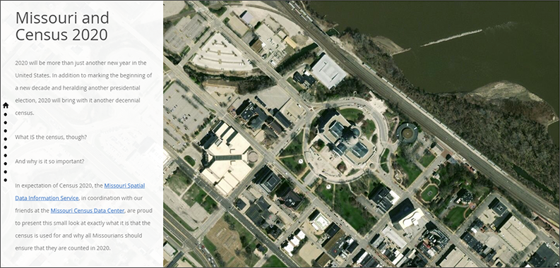
Missouri and the 2020 Census

2020 will be more than just another new year in the United States. In addition to marking the beginning of a new decade and heralding another presidential election, 2020 will bring with it another decennial census.

What is the census, though? And why is it so important?

Our colleagues at the Missouri Spatial Data Information Service built a story map exploring the 2020 Census and its consequences for Missouri.

The 2020 Census in Missouri

The Missouri Census Data Center frequently works with MSDIS on mapping and data projects. MSDIS is a spatial data retrieval and archival system offering many mapping resources, primarily focused on the state of Missouri.